Things to do in Big Cypress National Preserve

|
| The beauty of the wetlands of Big Cypress, Florida - License our images here. |
These are the places we know in Big Cypress, a national preserve located between Miami and Naples. Check the photos at the end of the main text.
Visitor Centers
There are two visitor centers in the preserve, and both are in the Tamiami Trail. The Headquarters of the preserve is at the west visitor center which is the closest to Naples (map). The Oasis Visitor Center on the east is the closest to Miami (map). These are the places to stop for information, guidance, and permits.
Camping
There are two camps by the Tamiami Trail, the only road the connects east and west Florida in this area. One is named Midway (map), the other Monument Lake (map).
Midway is the only one with electric hookups. 26 RV sites and 10 for tents circle a lake. There is potable water and a dump station. Beware of the alligators in the lake.
Monument Lake has the same number of campsites. There is potable water, but not dump station - I believe you can use the one in Midway. There are restrooms with shower.
Burns Lake campground is a mile north from the Tamiami Trail on the western side of the preserve (map). 10 sites for RV and 5 for tents also around a lake. There are vault toilets. No drinking water.
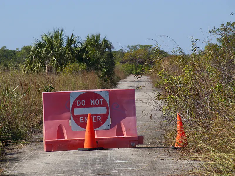
Mitchell Landing is a remote camp on the scenic Loop Road (map). This place is close to the gone town of Pinecrest. 11 campsites for tents or RVs and vault toilets. No water - We couldn't stay here because it was closed.
Bear Island Campground is more remote at over 20 miles north from the Tamiami Trail - only one dirt road in and out: Turner Road (map). 40 sites for tent or RV. No water.
Near Bear Island there are two primitive camps for tents accessible for off-road vehicles, biking or hiking: Pink Jeep (map) and Gator Head (map). The first one is around four miles from the entrance to Bear Island Campground; the second one roughly four and a half. 9 sites and vault toilets. No water.
The last option is dispersed camping in the backcountry of Big Cypress. Needs a free permit that can be filled at a visitor center or trailhead. There are restrictions in some areas like in the Bear Island Unit - check the rules and regulations. This is primitive camping with tents. Bring all you need and be aware that there are not gas stations, stores, or restaurants nearby. Big Cypress is a remote place.
Canoeing or Kayaking
The paddling season is from November to March - summer means mosquitoes and daily thunderstorms. A good option is to sign for a guided tour, but you can launch from some places if don't mind the alligators - LOL. Always check the weather and water trails information - some may not be passable. Some launching points we know follow.
At the end of Sea Grape Drive there is a primitive ramp to canals that go south towards Chokoloskee (map). Turner River Ramp at the Tamiami Trail (map) launches to the river. If you go south, you may end also in Chokoloskee Bay. This is a long and remotely wild route that gets very narrow in some places.
On the east and out of the national preserve, one can launch to the canals from the 40 Mile Bend Boat Ramp (map). Plenty of alligators in these wider and deeper waterways.
Biking
Probably the best choice is to ride the historic Loop Road. There are some parking spots at the place of the gone Monroe Station (map). Across the Tamiami Trail you also have Monument Road to explore.
Turner Road is another place to bike. This dirt road begins at the H.P. Williams Roadside Park (map). The dusty route from the 1950s follows a canal on a twenty-mile straight line journey up to Bear Island. You can short the trip through Wagon Wheel Road looping back to the Tamiami Trail - still it's a long ride.
The trailhead of Fire Prairie Trail is around the mile fourteen in Turner Road (map). This is an old rural road open to hikers and bikers. Five-mile round trip across a sawgrass prairie that ends at an old oil drilling rig.
Dirt roads and ORV primary trails (off-road vehicles) are open to bikes. Take in account that phone reception is from poor to nonexistent. Also, roads may get flooded. The national preserve has maps of the ORV trails in their website.
Hiking
You have all the roads, the Florida Trail with its extension to Loop Road, Gator Hook Trail, Pace's Dike, and Nature Trail Tree Snail - all in Loop Road -, the already mentioned Fire Prairie Trail, and all the other trails by the Tamiami Trail. Just remember that many places get muddy, carry water, food, and a map. Use common sense.
Some art in Big Cypress
Strange like this may appear, there is an art gallery in this national preserve. Clyde Butcher Gallery is at the Tamiami Trail (map). It shows and sells the art of Clyde Butcher, a master photographer of the black and white world that is often called the next Ansel Adams. Butcher uses old-fashioned methods with fiber-based silver gelatin paper. The gallery offers tours and there is a short hiking trail behind the building.
We've other posts about trips and places in Big Cypress National Preserve with photos.
- Biking in Big Cypress - one of the ORV trails.
- Kirby Storter Boardwalk.
- Monument Lake campground.
- The historic marker in Monument Lake.
- Oasis Visitor Center.
- Skillet Strand North Access Point.
- Alligator encounters in photos - includes in Big Cypress and other places.
Also, you can make good use of this post about Everglades National Park - a summary of places with many of our pictures.
We hope all the info helps. Some more photos now.

|
| The two campgrounds close to the Tamiami Trail: Monument Lake and Midway. Road noise may be problematic at Midway. There are alligators in both lakes. |

|
| Left: Burns Lake campground around a mile north of the Tamiami Trail. Center: The remote Loop Road - nowadays doesn't look so empty like in this picture from 2008. Right: The closed entrance to Mitchell Landing campground on Loop Road. |
 |
| Sweetwater Slough in Loop Road in the dry season. Some waterways in the preserve may get too low for paddling. |

|
| The secondary road through Bear Island campground and our truck in one of the campsites - some sites are wide and private. The main problem with this camp is the remoteness. Long drive to get water and supplies. |

|
| First: Kayak launch to the Turner River, the road of the Tamiami Trail is seen behind. Second: Sign with distances in Turner Road. Third: Wildlife in the canal of Turner Road. |

|
| Turner Road at the intersection with Wagon Wheel Road and H.P. Williams Roadside Park by the Tamiami Trail. Many private tours stop at this park to show the canal wildlife to visitors. |

|
| Fire Prairie Trail and Windmill Tram - one of the ORV trails on Turner Road. |

|
| The trailhead of the Gator Hook Trail on Loop Road. This trail was an old tram road. The deeper you get, the wet and muddy will be. |

|
| The gallery of Clyde Butcher in Big Cypress National Preserve. Good stop to appreciate the beauty of the Everglades. |

Comments
Post a Comment