The Southern Glades Trail in the tip of South Florida

|
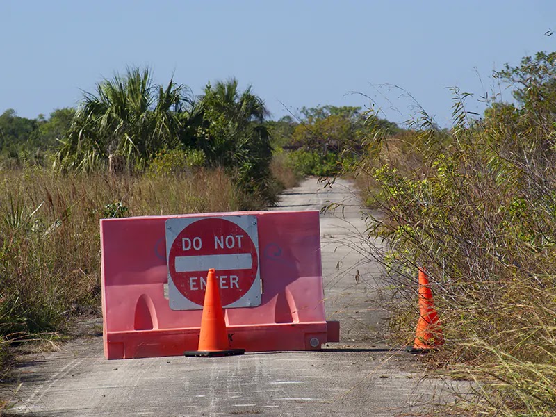
| Entrance to the western side of the Southern Glades Trail, Florida - License our images here. |
Unplanned stop at the trailhead of Southern Glades Trail halfway between Homestead and Key Largo. We dismounted the bikes and explored first the eastern side. A wide gravel trail - a dirt road - shadows the C-111 canal up to the sea. This was the Aerojet Canal, the one that company built in the 1960s to transport on barges the big rocket engines produced at their Homestead facility - now abandoned. Two miles later, the trail ends at Manatee Bay. The point was covered by trash left by the fishing crowd.
We returned to the trailhead and rode one or two miles on the western side. In that direction, the Southern Glades Trail runs for 13 miles - 26 round trip. It ends near the entrance of Everglades National Park. This route travels through Southern Glades Wildlife and Environmental Area, a remote place without facilities - check Google Maps.
We saw manatees swimming in the canal - a mom and a baby. Nobody else down there. Just us and the sun.


Comments
Post a Comment