Edge of Everglades Trail near the city of Miami

|
| The beauty of the Everglades in a rainy day - License our images here. |

|
| The trailhead of Edge of Everglades Trail at the entrance to Chekika. |
The Edge of Everglades Trail ends at the Levee L-30N on the canal C-30. Following the levee north will add six more miles to the trip. L-30N ends on the Tamiami Trail west from the Miccosukee Indians Casino. We didn't do it this time.
Edge of Everglades goes through somehow remote areas. It's very rural and to the west you will keep the company of the "River of Grass"- the Glades. There is no cover from the sun, potable water, or facilities. Carry all you need.
We didn't find a soul in the trail. The water level of the Everglades was high with the daily rains and happy frogs gave us a loud concert in some sections.
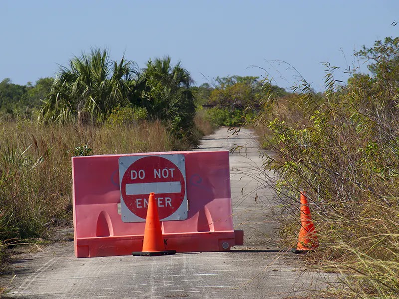
There were homes and farms on the west side of Edge of Everglades Trail long ago. Satellite images show old lots and roads - check here. Now these lands are part of the national park or owned by the Corps of Engineers of the US Army. Most are underwater after the mitigation works to improve the flow of the Everglades. We saw old traffic signs covered by lush vegetation.

|
| Where is the road? Nature took over. |
Herons, egrets, and big grasshoppers were the wildlife of the day. We also found a small dead snake. Alligators were out of sight.

|
| Not much wildlife today - blame the rain. |
On the way back rain came to refresh us. Nice touch from nature.
We have a short video of this bike ride in Edge of Everglades Trail.


Comments
Post a Comment