Camping in the Withlacoochee Forest: Our photos and information
We've camped multiple times in this Florida state forest. First thing to note is that this is not a continuous forest. It's divided in tracts as can be seen in the following map from the forest service.
 |
| Map of the Withlacoochee State Forest - Image: Florida Forest Service. |
The hard to pronounce Native American name is rooted in Creek or Muscogee - from the spoken language of the Seminole Indians of Florida - their ancestors came to Spanish Florida from Georgia and Alabama.
 |
| On the shores of Silver Lake in the Withlacoochee River - License our images here. |
Withlacoochee meaning
Defining the meaning of the word Withlacoochee is complicated because there are multiple ideas.
Some say that it means "crooked river". in reference to the many twists of the Withlacoochee River on its journey to the Gulf of Mexico. Others believe Withlacoochee means "little big water" or "little great water". In this case, this may refer to one of the many lakes in its course. A third source - a newspaper from 1872 - says that Withlacoochee is a misspell of Ouithacoochee. According to the source, this happened in the 1830s during the Second Seminole War.
So, like with many other things, the real meaning probably has gotten lost or confused in history.
 |
| Mutual Mine Campground. |
The lands of the Withlacoochee Forest
Cotton farms based on slave labor dotted this landscape until the 19th century. Towards the end of that century began the exploitation of turpentine in the forests and the phosphate boom. Both industries caused a lot of ecological damage - the lake at the center of the Mutual Mine Campground used to be a mine pit.
It's said that over 200 companies mined phosphate in Central Florida up to the 1920s. There are reports that this activity raised the price of land. For example, in the Peace River Valley in southwest Florida one acre grew in price from $1.25 to $300.
In the 1930s the Florida Forest Service bought many of the lands that today are part of the Withlacoochee Forest and started a reforestation plan for the area. Like the Canadian trailblazer Hux Coulter used to say, "Two men…working methodically can plant 1000 trees a day", so, with the pass of time, the trees came back to the Withlacoochee area.
 |
| Tent camping in Silver Lake. |
The campgrounds
There are developed camps in the Citrus and Croom tracts. Some more in the section called Silver Lake Recreation Complex on the shores of the Withlacoochee River.
In Citrus Tract there is Holder Mine, Mutual Mine, and Tillis Hill. In the Croom tract, we have Buttgenbach Mine Campground plus the ones in the Silver Lake Recreation Area: Silver Lake, Cypress Glen, and the primitive Crooked River campground only for tents. The River Junction campground is on the other side of the Withlacoochee River.
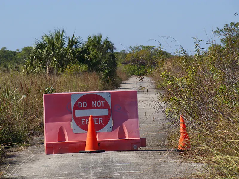
There are other primitive camping areas, but some require permits - I believe that's the case for people paddling the Withlacoochee River. Also, there is primitive camping in the Annutteliga Hammock - it's access is through the Annutteliga Hammock Trailhead.
Let's explore the camps we've stayed in Withlacoochee State Forest.
 |
| Our campsite in Holder Mine campground. |
Holder Mine Campground
Holder Mine became our escape from the cabin fever that brought COVID-19. We stayed close to summer and this season brings an awful weather with its heat, high humidity, and daily thunderstorms. Let's say that was Mother Nature's way of saying "Welcome to Florida".
One of those days, a lightning hit too close to us for comfort. We felt naked in our metallic Faraday shield in the middle of the forest.
This campground is in the Citrus Tract of Withlacoochee State Forest. Being in a hammock of oaks, there many spots plenty of shadow. Each campsites have a picnic table, a fire ring, and a well-leveled concrete pad. Add water and electricity, and what else can you ask for forest camping.
Weekdays were peaceful in the Holder Mine campground. Only three campsites were taken from the twenty-seven. Plenty of quietness and space.
The end of the week was another matter. A horde of weekend warriors arrived in their 4x4 vehicles for off-road adventures. Then all was about the buzzing of jeeps and pickups accompanied by dense clouds of dust.
Holder Mine was an old phosphate mine and the area has plenty of holes and rough trails.
 |
| A sandy 4x4 trail, wild turkey footprints, and vegetation on the trail walls. |
We got the supplies from the Walmart store of the city of Inverness - eight miles away.
This Inverness is very different to its Scottish ancestor. There is no River Ness around here - Inverness means "Mouth of the River Ness" - and you only get the Withlacoochee River by the eastern boundaries of the town.
The name was brought by a nostalgic Scottish settler. Before this, the town was called Tompkinsville after its founder, Mr. Tompkins or "Uncle Alf". Inverness was officially incorporated in 1919, but white settlers lived there since 1868. Seminole Indians used to wander around these lands long before them.
 |
| Our campsite in Mutual Mine campground. |
Mutual Mine Campground
Mutual Mine is now a jungle surrounding the pit of the old Hamburg phosphate mine - renamed Mutual later by some new owners. After the phosphate boom died and everybody left, the rain took care of create the lake we can see today.
We found many spiders on the trees that populate the shores. Old wooden stairs go close to the water. It's said that some folks come to swim there, but we didn't dare to try. We've found alligators in the most unexpected places and don't trust any water body of Florida.
 |
| The lake in the old mine pit. |
The Mutual Mine campground is five miles south from Holder Mine. Here, camping is closer to what it's supposed to be: no electricity, no showers, but there is water.
The campground connects to the sandy trails of the Citrus Tract. We rode the bikes to explore some miles but had to dismount and walk multiple times. The soft sugar sand was terrible. We only crossed a couple of 4x4 jeeps wandering through the forest roads.
Take a break and check this video from our stay in the Mutual Mine and the Holder Mine campgrounds - nothing I can write will beat the power of the images.
 |
| Preparing lunch in Tillis Hill. |
Tillis Hill Campground
In Tillis Hill we found groups of hunters setting camps to process meat. We found out that in two days was the open of hunting season.
This campground is on the top of a hill - the only hill we saw in this part of Florida. The campsites have full hook-up and there are showers. The recreation area also has stables and horse trails - one of them circles the camp.
From Tillis Hill, we went to visit Dames Cave. There are four caves over there that many believe once were interconnected - some are closed. We found graffiti and signs of vandalism in the caves.
There were 37 known caves in the Withlacoochee State Forest by 2015. Most are terrestrial caves, meaning that they are dry or rarely flooded.
For pictures of the Tillis Hill Campground, forest roads, trails, and the cave check this photo montage.
 |
| View from our campsite in Silver Lake campground. |
Silver Lake Campground
We've camped a couple of times here. In the second visit - March 2023 -, we were surprised by the new family bathrooms with showers. Pretty nice work on this by the Forest Service.
This time we camped with the tent and enjoyed of full moon chilly nights. Silver Lake shined in an amazing blue. A curious opossum loved to inspect our tent. Funny to see its shadow projected on the walls of the tent while the animal patrolled the outer boundaries of our dwelling.
The only thing we don't like of the Silver Lake Campground is that it's too close to the Interstate 75. Noise galore!
But this campground is near the Withlacoochee State Trail and the Croom Mountain Bike Trails and that's excellent for campers who like to ride bikes.
Check photos from Silver Lake Campground and the biking trails in this montage - these images are from our first trip with the truck camper.
 |
| The Croom section of the Withlacoochee State Trail. |
Conclusion
We've visited many places of this region of Florida from the campgrounds of the Withlacoochee State Forest. They served well as basecamps.
Among the places visited were the Withlacoochee Bay Trail, the old and still popular City of Cedar Key, Homosassa Springs State Park - kind of a zoo for Florida wildlife -, the Native American mounds of Crystal River Archaeological State Park, and the Withlacoochee State Trail, where we stopped along the way in the picturesque Floral City.
This area has many places for outdoor recreation.


Comments
Post a Comment