Photos: Camping in Santa Rosa Lake in eastern New Mexico

|
| Santa Rosa Lake, New Mexico - License our images here. |
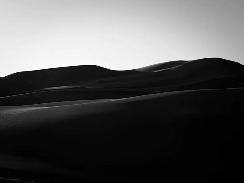
This man-made lake is a fresh oasis against the aridness of the surrounding area. The dam of the Pecos River at the old Horseshoe Bend created this lake in 1981. The old river bend can be seen in Google Maps.
The name Santa Rosa comes from the city 10 miles downriver, but the original name of the reservoir was Los Esteros - estuary in Spanish.
Crossing the river in the 19th century meant being "West
of Pecos". This was a way of saying "welcome to the wild West" with all its dangers associated.

|
| The beautiful canyon of the Pecos River after the dam. |
The Spanish explorer Coronado
crossed these lands in 1540 and the area remained part of Mexico until they lost
it after the war with the United States. This region was known as Agua Negra
Chiquita - "Little Black Water". The town of Santa Rosa was born in
1890.
In the 20th century, Santa Rosa lured Hollywood and became a set for some movies. A scene
of The Grapes of Wrath was shot here. Then came the Interstate 40 and the new highway stole most of the travelers of the old
Route 66. Like in many other towns of the West, the economy of Santa Rosa suffered.

|
| Sign of the famous Route 66. |
In Santa Rosa Lake State Park, we camped at Rocky Point Campground - 4,800 feet elevation.
Pinyon pine,
juniper,
and
yucca cover
the grounds of the park, so we got some dots of green by the campsite.

|
| Entrance to Rocky Point Campground in Santa Rosa Lake State Park. |
This state park has other two campgrounds. Juniper campground is closer to
the lake, while Los Tanos is right by the park entrance - this camp is
better for tent camping.
The trails of are easy. Probably less than
five miles all together.

|
| The lake, the dam, and the surrounding plains. |
The Pecos River canyon on the other side of the dam is beautiful.
We liked it better than the modern lake - second image of the post.
There are interesting rock outcrops in one of the trails.

|
| Nice creations of the wind. |
Check a montage combining our photos with some videos in
this link.


Comments
Post a Comment