Photos: Camping in Great Sand Dunes National Park

|
| The sand dunes of Colorado - License our images here. |
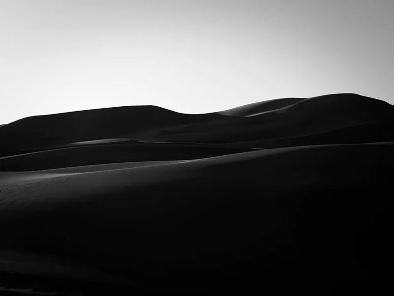
Mountains of sand pushed by the wind against the rocky cliffs of the Sangre de Cristo Range. These are the tallest dunes in North America, resting at a corner of the San Luis Valley. We got a site in Piñon Flats campground inside the national park. No electricity, but there was
water across the street.

|
| Our campsite in Great Sand Dunes National Park. |
A trail went from our site to Medano Creek, right at the start of the
dunes. The creek was dry. It's the season. Winter is almost here. Pretty
rocks all around there. Colors and patterns to choose from.

|
| Rocks by Medano Creek. |
The greenish looks a banded hornfel. Igneous rocks created through the heating and baking of other rocks by volcanic
magma. They exist in many colors. All depends on the original material.
The tallest dune rises 750 feet over the valley floor. The sand is 400,000 years old. It came from the
ancient lake that once was the San Luis Valley. This sand is a mix of quartz, pumice, and volcanic ash.

|
| C trailblazing on the sand dunes. |
Hiking these dunes was an experience in solitude. We went away from the crowd. Painful climbs and the bothersome howling of the wind with guts over 40
miles-per-hour. A lot of sand was airborne. We covered our
faces with masks.

|
| The mountain range bordering the sand dunes. |
The
Utes
called this place the "sand that moves". Spanish
hunters and herders arrived in the16th century, and soon the dry flatness of the San Luis Valley became a route between Santa Fe and the Great Plains.
Zebulon Pike
was the first one to write about the sand dunes in 1807. After crossing
the White Mountains - old name for the
Sangre de Cristo Range
-, he wrote:
The sand-hills extended up and down the foot of the White Mountains about 15 miles, and appeared to be about 5 miles in width. Their appearance was exactly that of the sea in a storm,
Today the sand hills look the same.

|
| The contrast of the sand and the mountains. |
Captain John Gunnison
of the US Topographical Survey crossed the dunes on horseback in 1853. It was a tough quest.
The sand was so heavy that we were six hours and a half in making ten miles…
John Charles Frémont
also fought with these dunes. In those times, Medano Pass was called Sand Hill Pass, and the
Mosca Pass was Robidoux’s Pass. Names change. The landscape is the same.

|
| Mount Herard seen from the sand dunes. |
The Herard family settled here by 1876. One peak was named in their honor: Mt. Herard. It's a high summit at more than 13,000 feet. A sandy 4WD road follows the old route to the home of Ulysses Herard.
South of the modern campground lived the Wellingtons - right by the
Wellington Ditch Trail. And to the west, farther from the mountains,
settled the Mexican Rancher Teofilo Trujillo. Just a few folks lived in this neighborhood of Colorado.
The sand dunes became a national monument in 1932 thanks to President Herbert
Hoover. The national park was created in 2004. A young park indeed.

|
| Nightfall in the dunes. |
Hiking after sunset on the dunes felt better. It was freezing with temperatures in the 30s, but the harsh wind died
down. We only met one person out there. He was a photographer from Oklahoma
shooting the night skies. The Milky Way never disappoints over these sandy
worlds.

|
| The colors of the sunset in the Great Sand Dunes. |
He told us that someone got photos of mountain lions playing on the
dunes under the moon. No luck for him or us on seeing such
a show of nature. We only got faraway coyotes singing a wild
concert to the darkness.
We shot some videos in Great Sand Dunes National Park - check them here.


Comments
Post a Comment