Forgotten Books: The White Heart of Mojave

|
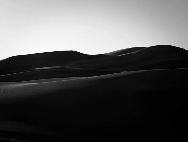
| One of our photos of the badlands of Zabriskie Point in Death Valley National Park - License our images here. |
The White Heart of Mojave covers the trip of Edna Brush Perkins and her friend Charlotte Hannahs
Jordan through the Mojave Desert in 1920. The book was written by Edna and published two years later.
An article on the website of Death Valley National Park says of this trip:
Their adventure into Death Valley looked much less like a modern trip into the park today, bearing much more in common with the treacherous journey of the ‘49ers.
49ers refer to the difficult travel through the desert of a group of pioneers going to California for gold in the late 1840s - details in Wikipedia.
 |
| Traveling through the desert in 1920. Photo from the book The White Heart of Mojave by Edna Brush Perkins - Public Domain. |
We visited Death Valley in 2010 but, being summer, couldn't explore too much. The book of Edna Brush Perkins gave us new ideas for a winter trip.
Some excerpts from the book and planning links follow.
Ryolite is a typical American ruin. Its boom was very brief.
Rhyolite is a ghost town in Nevada 35 miles from the Furnace Creek Visitor Center and 4 miles west of the city of Beatty.
The ruins are not inside the national park, they are in BLM land and their website has a map. There is more info about the old town in this page and in Google Maps.
Edna Brush Perkins also wrote about the dangers of travelling Death Valley and pointed to the remains of wagons buried near Stovepipe Wells. Likely, this is not the popular waystation used nowadays, it may be the original location on the other side of the Mesquite Flat Sand Dunes.
Both the mountains and the valley were named because tragedies down on that white floor during pioneering and prospecting days.One story is of a party of emigrants, men, women, and children, on the way to the gold-fields with all their household goods, who entered the valley by mistake and could not find a way out; another is of a party who were attacked by Indians and fought in a circle they made of their wagons until the last man was killed. The remains of the wagons are said to be buried in the sand near a place called Stovepipe Wells.
It was "Old Johnie," an habitué of Death Valley, coming home. He had an unworked gold-mine near Keane Wonder...
This is what the national park says about the access road to this mine: "Drive the Beatty Cutoff Road 5.7 miles north from Highway 190 to the marked dirt road for Keane Wonder Mine. Continue 2.8 miles to the parking area. The road is typically in rough condition and may require a high clearance vehicle with thick tires." Google map location here.
Salt Creek was another place visited by Edna and Charlotte in 1920,
The curious streak in the bottom of Mesquite Valley was the swamp of Salt Creek.
There were quicksands there, that you could not get out of if you got in. Men and burros has been lost that way.
This place is 13 miles from Furnace Creek and there is a trailhead there. Check this page of Death Valley National Park for info and this is the location in Google Maps.
About the area of Furnace Creek, the author wrote:
Furnace Creek Ranch, the irrigated farm in the bottom of the valley established long ago in connection with the original borax-works of the Twenty-Mule-Team brand.
This NPS page gives information about the historical Twenty Mule Teams.
Skidoo is another ghost town mentioned in the book.
The town of Skidoo lay in a high valley shut off from a view by the surrounding hills.
The website of Western Mining History has information about Skidoo. The national park warns that "Skidoo is located off the Wildrose road on an unpaved high-clearance road not recommended for automobiles. Nothing remains of the actual townsite."
A hike to this summit may be interesting.
Pinto Peak is on the west side of Emigrant Pass, overlooking the Panamint Valley and all the region to the foot of Mt.Whitney in the Sierra Nevada.
There is information to reach Pinto Peak in Summitpost. Check the location of this mountain in Google Maps, get hiking information for Death Valley National Park here, and refer to their Backcountry and wilderness access map.
The White Heart of Mojave: An Adventure with the Outdoors of the Desert is an old book with interesting perspectives. You can read it free in Project Gutenberg.


Comments
Post a Comment